

Geospatial Consulting/ Wildlife Conservation
Advanced spatial science and applications for environment, infrastructure, and conservation
Biogeo is a geospatial consultancy that combines scientific expertise with a commitment to supporting wildlife conservation.
We develop geospatial models and digital platforms that integrate environmental, engineering, and spatial data to support suitability analysis, constraint mapping, and complex decision-making.
Services
Geospatial Platform and Application Development
Biogeo designs and delivers tailored geospatial data platforms that connect mapping, analytics, and live databases. These systems enable clients to visualise data, monitor progress, and manage spatial information in real time. Built using Esri and open-source technologies, BioGeo’s applications transform complex datasets into interactive decision-support tools that improve efficiency, transparency, and collaboration.
Spatial Analysis, GIS Mapping and Cartography
Biogeo integrates, analyses, and visualises spatial data to support planning, design, and environmental management. Using advanced GIS workflows, spatial statistics, and geodatabase design, BioGeo transforms raw data into clear, defensible insights that inform decisions across environmental, engineering, and infrastructure projects.
Suitability and Multi-Criteria Decision Analysis (MCDA)
Biogeo develops spatial models that evaluate environmental, physical, and operational factors within transparent, weighted frameworks. These models identify preferred areas for development, conservation, or rehabilitation, providing an auditable and evidence-based foundation for strategic and project-level decision-making.
Remote Sensing and Multi-Spectral Terrain Analysis
Using multispectral, hyperspectral, and LiDAR datasets, Biogeo quantifies vegetation, terrain, and landform characteristics. These analyses provide objective, repeatable measures of erosion, canopy structure, and landscape stability—supporting rehabilitation monitoring, environmental performance tracking, and change detection over time.
Corridor Connectivity and Network Modelling
Through least-cost path/corridor, cost-distance, and network analysis, BioGeo identifies efficient and environmentally compatible alignments for linear infrastructure such as pipelines, utilities, and transport corridors. This approach integrates engineering and environmental datasets to reduce uncertainty, optimise route selection, and guide feasibility and design processes.
Ecological and Environmental Modelling and Forecasting
Biogeo applies ecological and statistical modelling techniques to predict species distributions, habitat suitability, and environmental change. By integrating spatial, biological, and climatic data, these models deliver scientifically robust outputs that support impact assessments, conservation planning, and landscape-scale management.
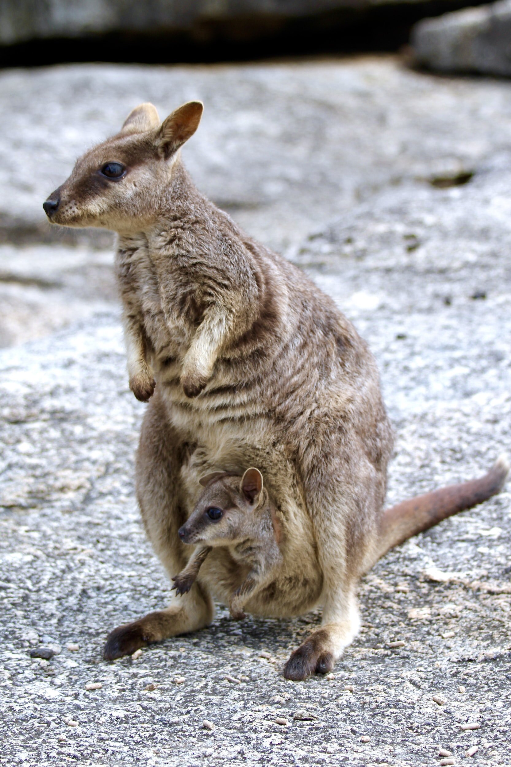
Wildlife and Habitat Conservation
Working in partnership with our clients, universities, and wildlife conservation charities and NGOs, we use cutting-edge science, technology, and research to provide practical and innovative solutions to protect and enhance native biodiversity.
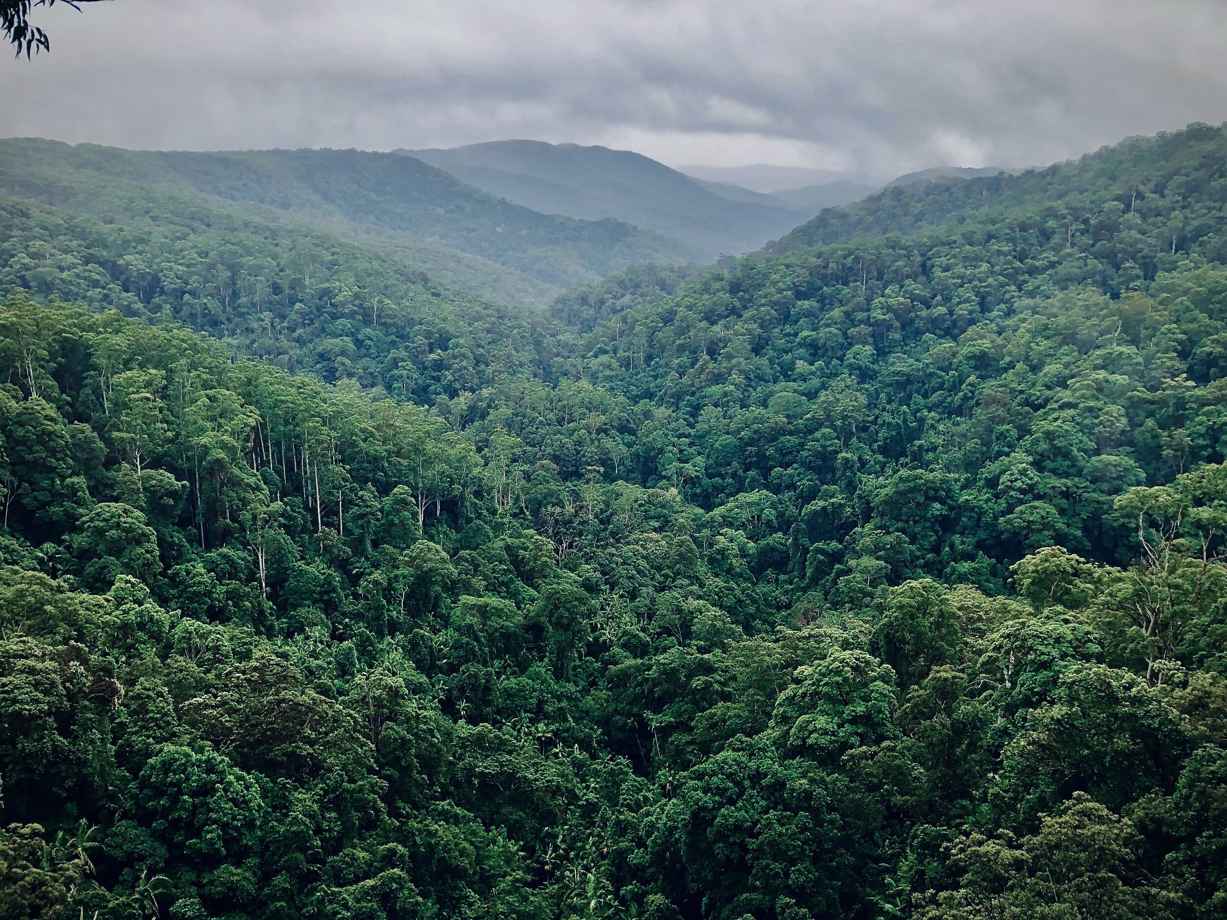
Supporting biological conservation projects and campaigns across Queensland, Australia, and the world.
BioGeo operates as a profit-for-purpose business — $5 from every billable hour supports wildlife conservation projects.
Enter your contact details and your message. We will respond as fast as we can. Let’s talk!